


Binh Duong Province has gained various achievements for the process of sustainable development thanks to promotion of land resources in 5 years of implementing the 6th Resolution of the 11th Central Committee of CPV on continual reforms of land-related policies to create foundation for becoming a modernized industrialized nation by 2020.
Land-use planning
Up to date, land-use planning until 2020 and land-use scheme of 2010-2015 tenure of Binh Duong Province have been established, verified and approved in accordance with Land Law 2003 across districts and communes. Accordingly, land-use planning of Binh Duong Province was approved by Resolution No. 78/NQ-CP of the government on June 19, 2013; and, at commune and district levels on July 01, 2014.
As required by Land Law 2013, Provincial People’s Committees consecutively from 2014 to 2017 submitted 5 resolutions of constructions and projects of land recovery and usage transformation of rice cultivation land to Provincial People’s Council for approval. Provincial People’s Committee has also issued decisions approving land-use schemes annually at district level. Land-use schemes of the province and districts have been approved and verified by competent authorities who have announced publicly for rightful implementation as required.
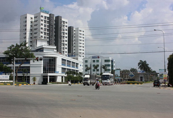
The effectiveness of land assignment, lease, and transformation of use helps service major constructions and projects
The adjustment of land-use planning until 2020 has been in the process of implementation. Accordingly, Provincial People’s Council by Resolution No. 30/QN-HDND on August 12, 2016 approved the adjustment of land-use planning until 2020 and 5-year land-use schemes of 2016-2020 which were both submitted to the government under Submission No. 4594/TTr-UBND on December 26, 2016 for consideration and approval. Ministry of Natural Resources and Environment (MONRE) verified those by Notification Number 58/TBBTNMT dated March 30, 2017. After such adjustment was approved by the government, Binh Duong Province carried out the same procedures at district level.
As informed by an un-named leader of Department of Planning and Investment, the approval of land-use planning and rightful use of land have been effectively helpful for environment and ecosystem protection. The implementation of planning criteria, land-use scheme and land-use transformation have basically suitable to socio-economic development of the province from 2011 to 2015 to satisfy the needs for land-use in development of social housing, urban and rural areas, industry, services, and social welfare infrastructures.
Land-use certification
Cadastre maps covering totally 269,464 hectares have been available across all 91 communes, wards, and towns of Binh Duong Province. Maps of 1:500 scale are accounted for 5,586.89 hectares, 1:1,000 scale 4,189.93 hectares, and 1:2,000 scale 131,594.95 hectares. Digital maps have been established for all 91 communes, wards, and towns, registering from July 1, 2014 for 863,073 land lots out of 994,652 in total. Accordingly, land-use certification has reached 99.76% equivalent to 243,123.71 hectares. The registration since July 1, 2014 has been accounted for 994,652 lots of totally 247,257.36 hectares. Totally 863,073 land lots of 246,351.46 hectares have been registered with land-use right.
In general, all-level authorities and specialized agencies have actively demanded for and organized land-use registration and certification. Up to date, the land registration has been fulfilled, gaining the targets and facilitating legal documents for land users to practice their rights.
The land-use right certification in the grassroots has been very helpful for land management to be strictly practiced creating foundation for modern management of land profiles during the integration into advanced technologies of developed nations. The land registration has also fulfilled to refine the cadastre system for effective State’s management.
Reported by P.V – Translated by Vi Bao