Geographic Information System (GIS) offers capacity of collecting, updating, saving, analyzing and displaying all kinds of information to become a particularly useful tool in managing and integrated processing multi-sector information supporting the accurate and timely decision making. In Binh Duong Province, GIS has been deployed very early in establishment of specialized digital map servicing the cadastral management before being expanded to other managerial fields of corporate, natural resources and environment, social security, climate, and telecommunication infrastructure.
Useful tool
The integrated spatial data (map layers) and non-spatial data in GIS allows analysis and evaluation of status and future forecast by proposing developmental orientation and effectively combining socio-economic matters and environmental issues in sustainable development planning. Thus, GIS is considered as a helpful tool in decision making regarding socio-economic activities, national defense and security of many nations in the world.
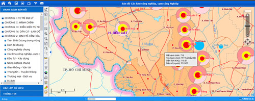
Atlas UI of Binh Duong is one of the GIS applications supplying information about natural conditions, culture, economy, and society helping the managing bodies, domestic and foreign investors, and the public make their reference. Photo: H.P.
Ever since 2000, various GIS projects and plans have been implemented by the province to gain practical effects in the stage of making IT the forces for socio-economic development and promotion of industrialization and modernization of the province including the e-government and online public services.
GIS has benefited the State’s management of the province by its built database framework for 1:50,000 scale map of the whole province with map layers of all level administrative zones, land-use areas, territories, mineral ores, and power grid as well as one corporate management program in terms of equipment and technology, measurements, standards, quality, environment pollution status and treatment, etc.
To promote GIS application
Although GIS application in Binh Duong Province has been for socio-economic management, it ends up in small and separate scale projects of some fields of natural resources-environment, science and technology, information and telecommunication, agriculture and rural development, etc. GIS has not been promoting in large scale management, professional operations, and information sharing coordination.
As informed by Mr. Thuong Van Hieu, Director of Department of Science and Technology, despite the progress, GIS data scatter among departments and sectors making it very hard to share the data for general coordination of direction and command. Besides, some databases are off the frequent updates preventing the utilization of some applications, especially those applications requiring high detail and accuracy.
According to experts, to promote GIS the province should identify its general application of GIS. For particular projects, GIS should be in detail research with special notice to systematic management organization of shared databases and staff training while the data updating and using process should be close to professional operations of the agencies.
At a recent working session on science and technology application from 2012 through 2014 of Binh Duong Provincial People’s Council, Mr. Huynh Thanh Long, permanent member of Binh Duong Provincial Party Committee and Deputy Chair of Binh Duong Provincial People’s Council, asserted that awareness of leaders, officers, cadres, civil servants, enterprise representatives, and the public should be improved in the long-term tasks requiring nonstop direction of provincial leadership and efforts of agencies and individuals in building, operating, and using GIS in State’s administrative management and direction.
Reported by Hoang Pham – Translated by Vi Bao