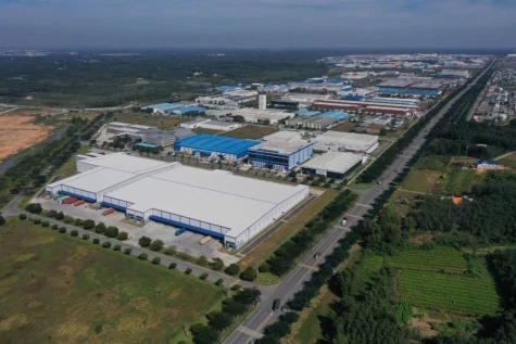
TDM city is the center of Binh Duong province. With its robust development, TDM has been upgraded into a second-class city. The city has also brought the Geographic Information System (GIS) into urban management to enhance the local ability in the domain.
Satisfying real demand
Strong changes in socio-economic development have put new requirements for TDM city in State administration work, especially for activities relating to environment, natural resources, housing, technical infrastructure…The province’s effective application of GIS in several domains has created a premise for TDM city to apply this system in the local urban management
.jpg)
Through GIS, information, data on housing, traffic, water drainage…in TDM city’s 4 wards of Hiep Thanh, Phu Hoa, Phu Loi and Phu Cuong have been sufficiently upgraded.
According to Assoc.Prof., Dr. Tran Trong Duc of HCM city University of Technology, GIS application into urban management will help leaders of TDM city have exact decisions in the field.
The GIS has been implemented in 4 wards of Hiep Thanh, Phu Hoa, Phu Loi and Phu Cuong with data on housing, traffic, water drainage, planning management, public works…basically fulfilled.
Nguyen Tan Dat, Deputy Head of TDM city’s Urban Management Division said that the city’s implementation of the GIS in urban management has basically completed a geographic database with 1:2000 scale in the 4 wards. This will be a valuable source of data for agencies and projects in the province and it has initially upheld its efficiency in supporting daily activities of the city’s Urban Management Division.
Effective support tool
The initial results of GIS application in urban management of TDM city has considerably contributed to IT application into management and planning work for the local economic development. This is also seen as a support tool for leaders of the city to have better decisions regarding urban management in line with the local tasks on socio-economic development.
According to Mr.Dat, GIS application has effectively supported the city’s urban management work. It is a lever for urban management staff to improve their competence and also seen as a premise for the locality to apply GIS into other relevant fields…
Nguyen Van Dong, Chairman of TDM city’s People’s Committee said that possibly speaking, GIS application into urban management has contributed to effectively carrying out the city’s overall plan on socio-economic development in association with planning for urban construction and development, planning with 1:2000 scale for functional areas of wards, planning for the use of land between 2011 and 2020 as well as controlling over implementation of plans approved.
Along with meeting requirements of urban management with a database set up, GIS has partially provided special data on economics, society, culture, water drainage…This is considered as a close relation in connecting database with special data to better serve the city’s urban management work.
Reported by Hoang Pham-Translated by K.T